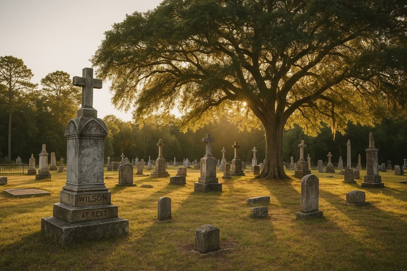
Local History Through Burial Grounds
The cemeteries of San Jacinto County provide valuable insight into local history, family lineages, and patterns of settlement across the region. Many of these burial grounds are small, community-based, and tied to early church congregations or rural homesteads. Though formal documentation may vary, the list below reflects locations historically identified within county records, maps, and genealogical efforts.
Archival Nature of Records
This list represents a partial historical record of cemeteries located in San Jacinto County. In some cases, multiple coordinates are associated with the same site, reflecting updates, corrections, or overlapping historical references. While latitude and longitude markers help identify location data, the exact status or accessibility of each site may vary over time.
Cemetery Listings by Location
The following cemeteries have appeared in public domain documents, regional research efforts, or local accounts. Sites are arranged by recorded names, with associated communities or geographic indicators when available.
- Bear Creek Cemetery
- Big Creek Cemetery (Westcott, FM 2666)
- Butler Cemetery (Coldspring)
- Carter Cemetery (Stephen Creek)
- Cedar Grove Cemetery (Old and New) (near Junior High School, adjacent sites)
- Center Hill Cemetery (Oakhurst)
- Cochran Cemetery (Camilla)
- Coley Creek Cemetery (Rayburn, FM 223)
- Community Relief Cemetery (Staley)
- County Line Cemetery (near Montgomery-San Jacinto County border)
- Davison Family Cemetery (FM 1127)
- Ellis Cemetery (Camilla)
- Evergreen Cemetery (Coldspring)
- Farley Chapel Cemetery (FM 2666)
- Hargrove Cemetery (Maynard)
- Harrell Cemetery (Stephen Creek)
- Hoby Cemetery (Oakhurst)
- Jenkins Cemetery (Oakhurst)
- Lake Pool Cemetery (Lake Pool Road, off Highway 59)
- Lake Station Missionary Baptist Church Cemetery (Drew’s Landing, FM 1127)
- Laurel Hill Cemetery (Coldspring)
- Lewis Cemetery (Maynard)
- Liberty Hill Cemetery (Carlisle)
- Lovett Cemetery (Westcott, FM 2666)
- Magnolia Cemetery
- McGown Cemetery (Staley)
- Milby Hill Cemetery (Camilla)
- Mitchell Cemetery (Camilla)
- Montague Cemetery
- Mount Capers Cemetery (Staley)
- Mount Zion Cemetery (Stephen Creek)
- Murray-Moody Cemetery (Bear Creek)
- Pleasant Grove Cemetery
- Purkerson Cemetery (Bear Creek)
- Red Rock Cemetery
- Roark Cemetery (Westcott)
- Robinson Cemetery (Point Blank)
- Rose Hill Cemetery (Camilla)
- St. Clair Missionary Baptist Church Cemetery (FM 2914, Stringtown Road)
- Scott Cemetery (Maynard)
- Shepherd Cemetery (FM 222, site of Shepherd Methodist Church)
- Spring Hill Cemetery (Coldspring)
- Squier Cemetery (Westcott)
- Williams Cemetery (Maynard)
- Youngblood Cemetery (Coldspring)
Geographic Data
Many of these cemeteries were recorded alongside latitude and longitude coordinates, offering approximate location data. In several cases, multiple coordinates exist for a single site, often due to expanded grounds or nearby duplicate names. While these numerical entries help orient historical mapping, they should be cross-checked with current geographic tools for further context.
Preservation and Historical Value
These cemeteries reflect the diverse communities that shaped San Jacinto County over time. They offer insight into settlement patterns, religious affiliations, family names, and local history. As with many rural areas in Texas, some burial sites are private, unmarked, or maintained by descendants and community volunteers. Documentation like this helps preserve knowledge of their existence, even as physical conditions may evolve.