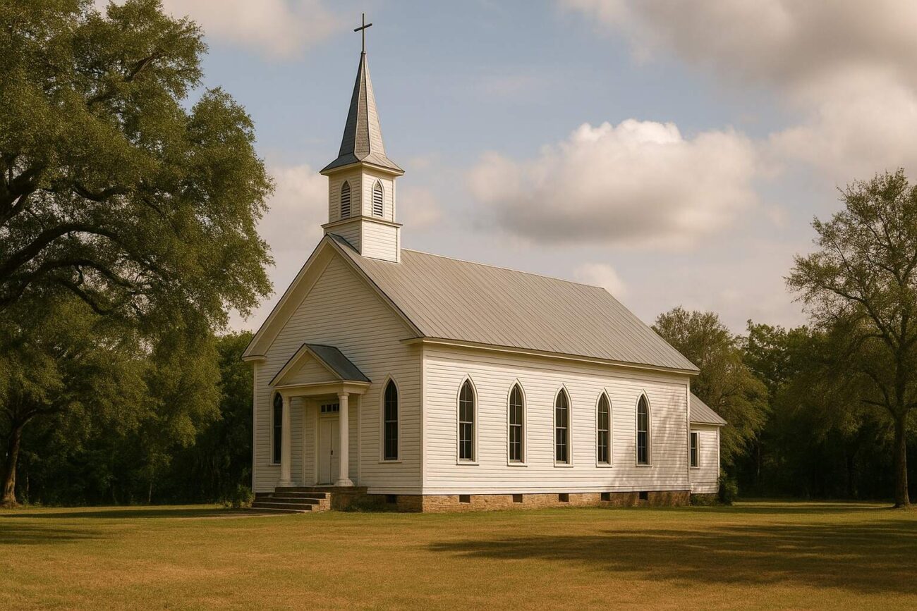
A Historical Overview of Churches
Churches shaped the cultural and social landscape of San Jacinto County, Texas. These institutions served not only as places of worship but also as centers for education, civic gatherings, and community support. Located across rural areas and small settlements, many of these congregations left behind names, locations, and historical footprints preserved in public records and genealogical archives.
A Widespread Rural Presence
The geography of San Jacinto County influenced the distribution of churches. Communities in Bear Creek, Maynard, Rayburn, and Stephen Creek established chapels and missionary churches to meet their local needs. These congregations operated near farmland, cemeteries, and family homesteads, often tied to Baptist and missionary traditions.
Historical listings sometimes include multiple entries for churches with similar names. For example, records mention more than one Big Creek Missionary Church and several New Hope Church locations. These duplicates likely reflect updated land measurements, renamed sites, or overlapping recordkeeping.
Churches by Region
In Bear Creek, churches such as Bear Creek Baptist Church and Montague Church supported families living in the area’s wooded landscape. The Westcott community included Big Creek Missionary Church, Farley Chapel, and New Hope Church, which frequently appeared in documentation alongside FM road markers.
Oakhurst hosted several churches, including Center Hill, Hopewell, and Maple Hill. These congregations often stood near school sites or small civic centers, forming important parts of the local network of rural institutions.
The Maynard region featured a high concentration of congregations. Pleasant Grove Church, Pine Grove Missionary Church, and Mount Pilgrim Church served nearby communities and connected residents through shared religious life.
In the Stephen Creek area, churches such as Paul Horton Memorial and Snow Hill became focal points for families. These locations commonly adjoined cemeteries, indicating the close ties between spiritual and burial traditions.
Other church locations include Rayburn, Coldspring, Camilla, Carlisle, and Conroe NE. Churches like Magnolia Grove, Spring Hill, and County Line show how congregations adapted to each community’s geography and social needs.
Interpreting the Coordinates
Many historical records include latitude and longitude data for these churches. This geographic information provided a reference for surveys and mapping projects. In some instances, minor variations in coordinates appear for the same church name. These differences likely resulted from realignments of property lines or variations in documentation over time.
These coordinates help illustrate the distribution of churches but do not confirm the presence of active congregations today. Instead, they offer a way to visualize where religious institutions once stood within the county’s landscape.
A Reflection of Community Life
Church names often reflected shared religious values. Names such as New Hope, Mount Zion, and Pleasant Grove appear across multiple communities. Despite their different locations, many of these churches served similar roles—offering religious guidance, hosting family events, and strengthening local identity.
In towns like Shepherd, churches with distinct denominational ties—Methodist, Baptist, Church of Christ, and Pentecostal—reflect a diversity of beliefs and traditions that coexisted in one area.
Preserving Church History
These churches formed the foundation of community life in San Jacinto County. Although many no longer operate, their inclusion in historical records allows current and future generations to understand their legacy. By documenting names and locations, local historians and researchers continue to honor the role these institutions played in shaping regional identity.